
Make visible how public space is actually being used
ParkWave gives municipalities up-to-date insight into the occupancy, usage and possible deviations on parking spaces — an information layer underneath execution, enforcement and policy.
Scarce space calls for better insight
Public space is scarce and is used increasingly intensively. Parking spaces serve different roles here: from regular parking to a specific function. Steering that well requires insight into where, when and how parking spaces are used.
Parking pressure
Where is occupancy structurally high? Where do peak moments occur and which locations need extra attention?
Specific functions
Blue zones, loading and unloading, kiss & ride and other reserved spaces each have their own function. ParkWave shows whether the parking space is actually used for it.
Enforcement
Where and when do possible violations occur? This allows enforcement capacity to be deployed more precisely.
Charging infrastructure
Are charging spots actually being used to charge? Or are they occupied by a different type of vehicle? And does the user start a charging session at all?
What's really happening on the street?
Municipalities have various sources for gaining insight into how parking spaces are used. Many of them show a picture of a specific moment or a specific location. As a result, patterns that develop over a longer period can stay out of view.
What existing insights often show
- A snapshot during a patrol
- A report from a resident or business
- An incidental count or spot check
What ParkWave adds
- Patterns across days, weeks and longer periods
- Insight into the difference between incidental and structural situations
- An up-to-date picture of usage per location
- Data that policy and operational decisions can be based on
From fixed patrols to information-driven work
ParkWave doesn't replace the enforcement officer. It gives officers up-to-date information that lets them work more precisely. It means an officer doesn't just have to drive patrols hoping to find a violation, but can instead check locations where a signal gives reason to look. It enables them to do their work efficiently and effectively.
Traditional
Illustrative previewInformation-driven
Illustrative previewTurn every enforcement round into a targeted round.
Not just knowing a charging spot is occupied, but why
Installing more charging points isn't always the answer. ParkWave combines real-time occupancy data from parking sensors with available charge point data via OCPI. This creates insight into how charging spots are actually being used.
Our sensor sees whether a vehicle is present. The charge point data shows whether a session is active. Together, these sources give a fuller picture of how the charging infrastructure is used. This lets us distinguish between different situations more clearly. The availability of charge point data within ParkWave varies by provider and is continuously expanding.
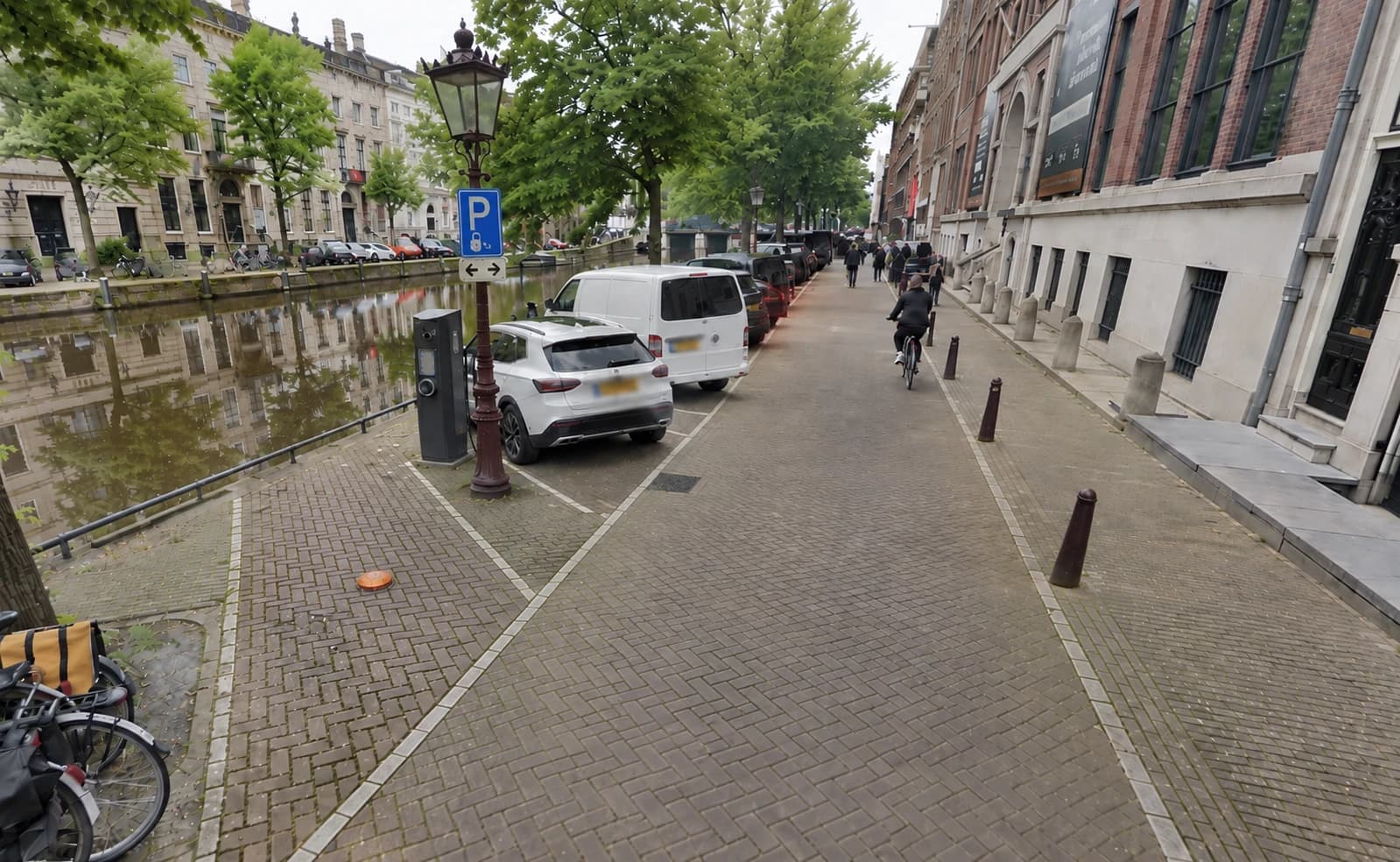
Non-electric vehicle
A charging spot is occupied by a non-electric vehicle.
EV without an active charging session
An electric vehicle is on the charging spot with its cable connected, but no session is active. This may indicate "cable hogging" — occupying the spot without a charging need. This scenario will only grow as more "idle fees" are introduced.
EV with an active charging session
The vehicle is on the charging spot and a session is active. The charging spot is being used as intended.
Measure what happens.
Substantiate what you change.
Isolated observations only become valuable once they form a pattern together. That pattern is the basis for understanding what's going on, steering with purpose, and evaluating the effect of a measure. ParkWave lets you map parking pressure (temporarily) before policy decisions are made.
- Where is parking pressure structurally high?
- When do peak moments occur?
- Which locations need structural attention?
- Are charging spots actually being used?
- Is a new measure having the intended effect?
- Where is expansion needed, and where is better utilization enough?
From individual parking spaces to a smart city
A parking space never stands on its own. The value of a spot is determined by where it is, what it's meant for, and how it's actually being used at that moment. ParkWave makes that usage visible. Not just whether a spot is free or occupied, but also how parking pressure develops, where space is used incorrectly, and which patterns emerge throughout the day. This creates an up-to-date picture of public space: from individual parking spaces to areas, patterns and policy.
One area. One concrete question.
Direct insight.
A smart parking solution doesn't need to be rolled out city-wide right away. With a focused pilot, a municipality first gains insight into what's actually happening at a location and which measures would make a difference there. This builds a well-founded picture of what works, step by step.
Choose an area and a question
For example a busy parking area, a set of regulated spaces, or charging spots — linked to a concrete question that needs an answer.
Measure usage
Sensors make occupancy and usage in that area visible in real time.
Recognize patterns
Where and when the problem actually occurs becomes visible in the dashboard and reporting.
Answer the question
For example: did a measure have an effect, or is more capacity genuinely needed?
Evaluate
Set the outcome alongside the experience of managers and enforcement staff.
Next step
Which parking question would you like to answer first?
Every municipality faces different challenges. Discuss a concrete question from your own practice and discover which insights ParkWave can make available.